Gran Canaria map
Gran Canaria is a Spanish island in the Atlantic Ocean. However, a quick look at the world map reveals that Gran Canaria geographically is much closer to Africa than to Spain. There are only 200 km to the African west coast, while there are 1,250 km to the Spanish mainland.

Gran Canaria is the second largest of the Canary Islands. The largest is Tenerife, while the other islands are Lanzarote, La Palma, Fuerteventura, La Gomera, El Hierro and five smaller islands. As the map shows, Gran Canaria is almost completely round. The island’s diameter is 45-50 km, and the total area is 1,560 km². For comparison, Tenerife’s area is 2,034 km².
The capital of Gran Canaria is Las Palmas, which is seen in the northeast corner of the above map. A little less than half of the approx. 850,000 inhabitants live in Las Palmas, while Telde slightly south of the capital is the second largest city.
The popular holiday resorts are located on the south coast. Some of the resorts have grown together over the years, e.g. Playa del Ingles, Maspalomas and San Agustin. Likewise, Arguineguin and Patavalaca have more or less become one big resort. The newest holiday resort on the south coast is Playa Taurito.

Gran Canaria is a volcanic island and therefore very mountainous. The mountains are especially concentrated around the center of the island, and at 1,956 meters the highest point is Morro de La Agujereada. Interestingly, for a long time it was thought that the highest point was Pico de las Nieves, but it is 7 meters lower. The most famous rock is Roque Nublo, which is the island’s third highest point (is marked on our map).

Almost in the middle of Gran Canaria lies the very charming mountain village Tejeda. It is not exactly in the middle, as the island’s center is marked with the cross Cruz de Tejeda about 2 km northeast of Tejeda. Other charming mountain villages are Arucas, Firgas and Teror. All are marked on the map.
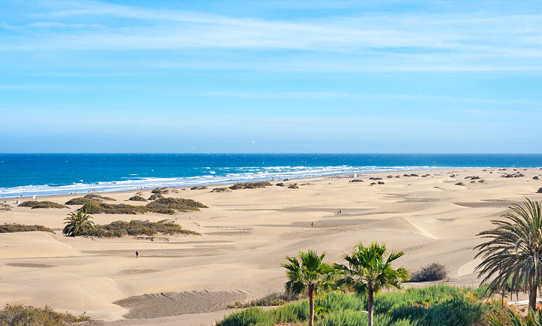
Gran Canaria’s largest natural attraction is the Maspalomas desert. A 400-hectare desert that became a nature reserve in 1994. See many other attractions here.